


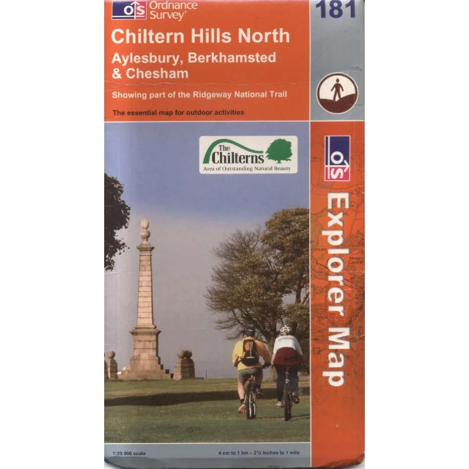
Chiltern Hills North - 181
Publisher: Ordnance Survey
Format: Paperback
ISBN: 9780319237533
Chiltern Hills North – Ordnance Survey Explorer Map 181 (2006)
Ordnance Survey | ISBN: 9780319237533
Condition: Fair | Sold by Crappy Old Books
The Chiltern Hills. A glorious stretch of English countryside where rolling hills, ancient woodlands, picturesque villages and winding footpaths combine to offer the weary urban inhabitant a refreshing escape from modern civilisation. A place where one can breathe fresh air, admire spectacular scenery and discover, approximately four miles into a supposedly gentle afternoon stroll, that the little dotted line on the map leads directly into a field containing an exceptionally bad-tempered bull.
Fortunately, Ordnance Survey has been helping the British public become lost with remarkable precision for generations.
Welcome to Chiltern Hills North, Explorer Map 181, a magnificent example of British cartographic achievement covering the northern Chilterns and surrounding countryside. Here, every footpath, bridleway, contour line, woodland and suspiciously insignificant-looking stream has been carefully recorded, allowing walkers to plan their adventures with the reassuring confidence that comes from knowing precisely where they ought to be, even when they aren’t.
Published in 2006, this detailed map belongs to the celebrated Ordnance Survey Explorer series, renowned for its 1:25,000 scale. That’s four centimetres representing one kilometre on the ground, an arrangement that sounds perfectly straightforward until the route starts climbing a hill and the distance between your current position and the nearest pub suddenly becomes a matter of considerable emotional importance.
The northern Chilterns offer a wonderful variety of landscapes, from chalk hills and beech woodlands to agricultural valleys, historic settlements and charming villages where the houses are picturesque, the roads are narrow and the inhabitants occasionally appear surprised to discover that people from elsewhere have found their way in.
For walkers, cyclists, countryside enthusiasts and dedicated collectors of muddy footwear, the Explorer map provides the essential information required to navigate this landscape. Rights of way, field boundaries, terrain contours and countless geographical details are presented in the familiar cartographic language that has made Ordnance Survey maps an indispensable companion to British outdoor adventures.
And what a language it is. Green shading, orange contours, blue streams, dotted footpaths and little symbols representing everything from churches to public houses. The entire British countryside reduced to a beautifully organised collection of lines and markings, proving that even nature can be persuaded to behave sensibly when supervised by professional surveyors.
Of course, being a 2006 edition, the map also provides a useful historical snapshot of the landscape as recorded at that time. Paths, roads and local features may have changed since publication, so modern navigation should be checked against current mapping.
This copy is offered in Fair condition by Crappy Old Books, making it an affordable acquisition for walkers, map collectors, local historians and anyone who enjoys spreading an enormous sheet of paper across the kitchen table and planning adventures they may or may not ever undertake.
A wonderfully detailed guide to one of England’s most attractive landscapes, from an era when finding your way around the countryside involved observation, preparation and a reasonable ability to interpret contour lines.
And unlike satellite navigation, this map will never announce that it is recalculating your route.
It will simply allow you to remain magnificently lost in complete silence.
Keep browsing: See more Maps books Other books by Ordnance Survey
